mapschool

mapschool is an educational project about maps. In modern-day terms, it’s about GIS, cartography, and a bit of everything else.
It’s for teaching people how the earth and its stuff becomes data and how that data turns into pictures and ideas.
I hope that it’s a complementary piece to technical literature that empowers people to think critically about tools and techniques.

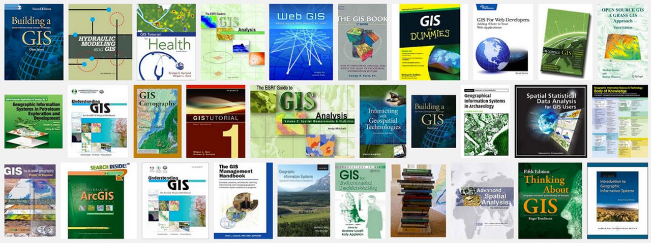
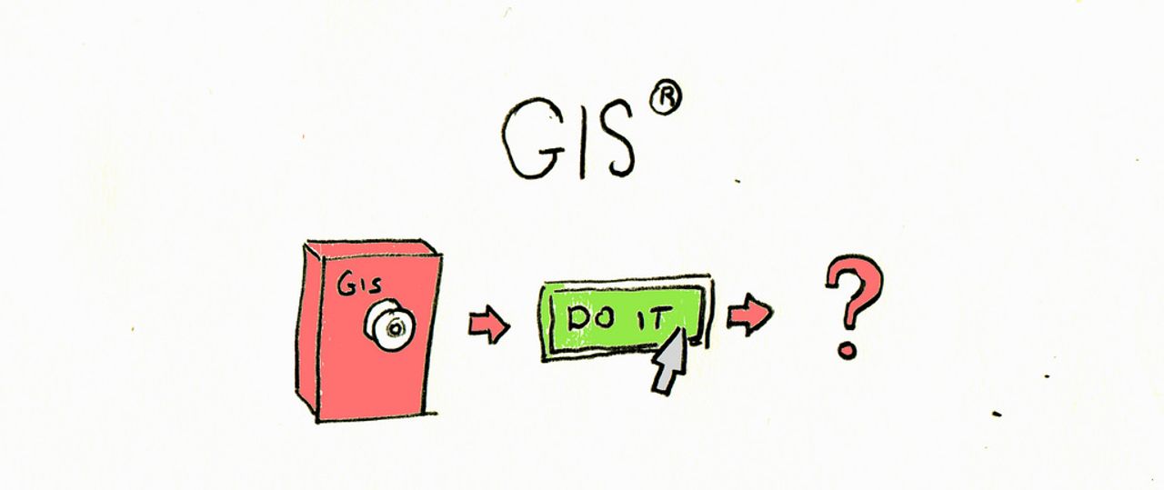
mapschool was inspired by frustration with existing learning materials. The field of GIS is cursed by being both product and discipline: Esri and others popularized techniques and terms related to doing things with geospatial data, which is a benefit. But in this process they branded basic ideas and turned education that could be engaging and creative into rote memorization of products and terms.

So the centerpoint of mapschool is generality and creativity. No products, no unthinking acceptance of principles. It’s a massive challenge and is far away still, but I believe in it.
It’s an attempt to explore the space of ‘textbooks’ on the internet, combining the style of blogs, Wikipedia, and traditional print. Hyperlinks and interactive demos are deemphasized: interaction will be flat, to fit the secret plan.

The secret plan is to print mapschool, and to figure out how to make it as simple and cheap as possible. It should explore the other corner of price and attitude as a textbook.
There’s still space to explore. Should there be ‘in-depth’ sections for each paragraph? Would this make sense as a weekly email series, and does the ebook version matter? How would translations be created and maintained?
The current highest priority is to solicit feedback from people for whom it is an introductory text, to find gaps in explanations and unanswered questions. That’s because it’s impossible for people with deep experience to read as if they don’t have it.
Education needs to stop sucking, and this is a first shot at doing that on a larger scale. There are other promising initiatives like CartoDB academy on the applied side, and a few great resources like Furuti’s guide to map projections.
If you’ve got something to improve or add, it’s an open data project and welcomes contributions. On the consumption side, it’s under a permissive license that allows commercial uses and modifications.